
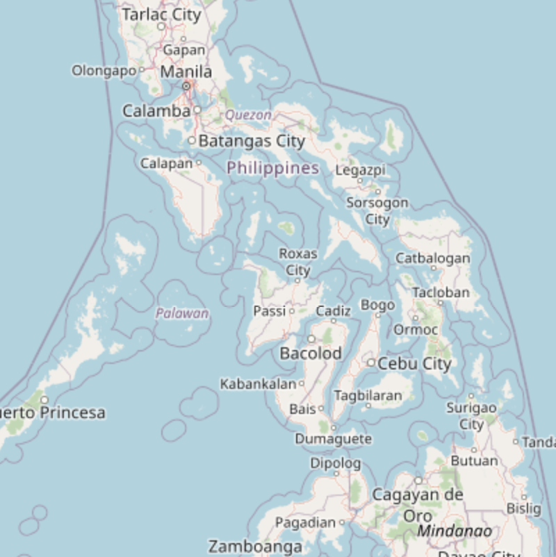
 Open Street Map
 World Street Map
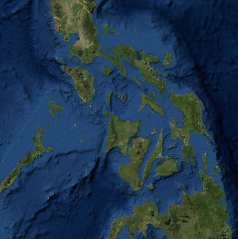 World Imagery
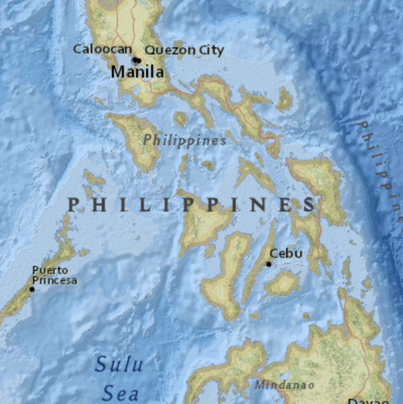 National Geographic Map
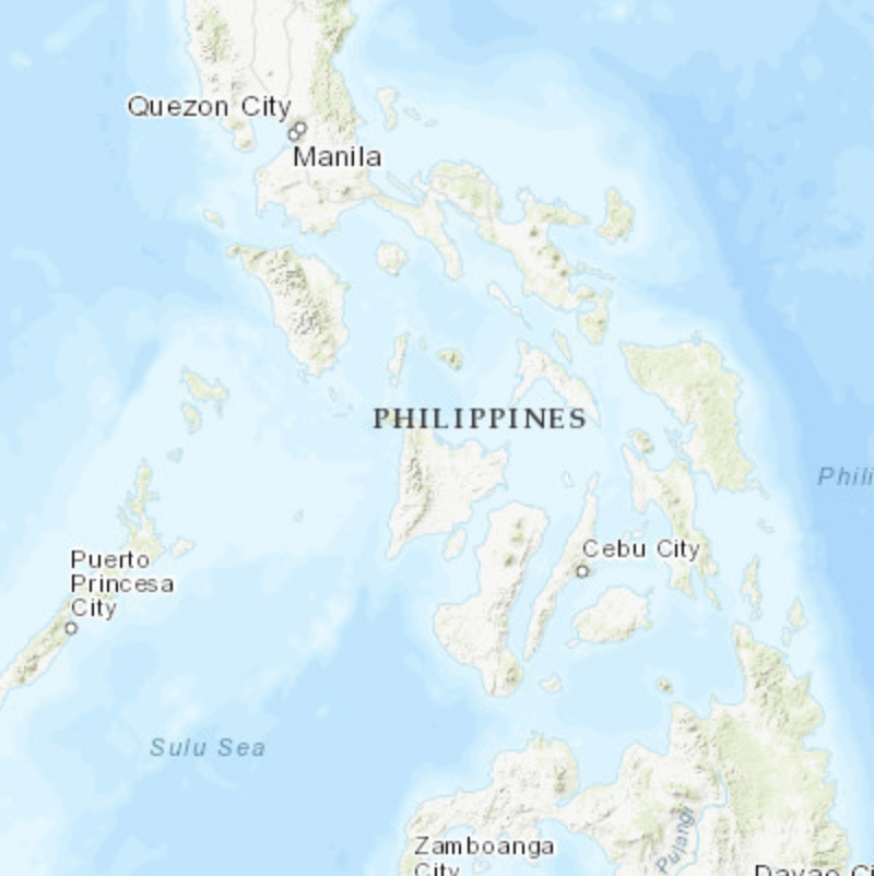 World Topographic Map
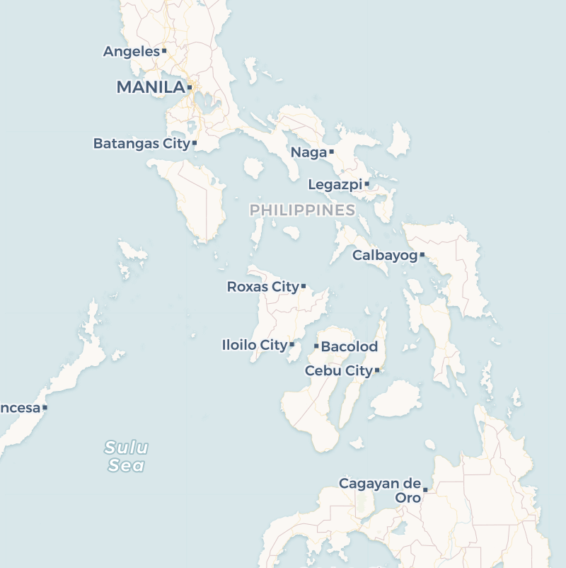 Carto Voyager Map
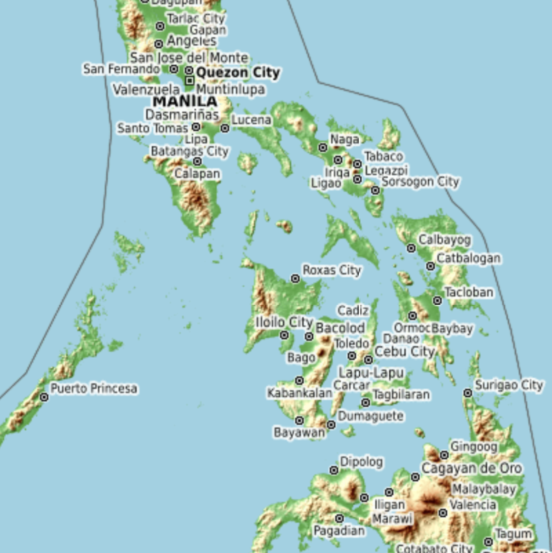 Open Topographic Map
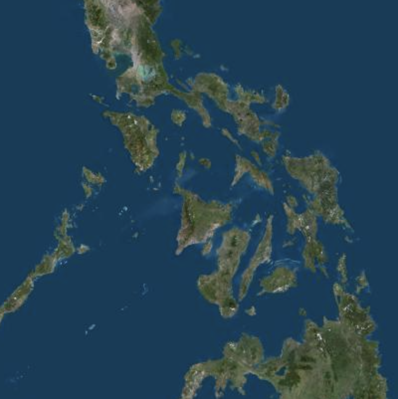 Geoportail France Orthos
National Color-Coded Agricultural Guide (NCCAG) Map
⇢ Disclaimer and Data SourcesThe Adaptation and Mitigation Initiative in Agriculture or AMIA supported the development of new planning tools that consider the challenges of climate change, to assist Filipino farmers and fisher folks, and all other stakeholders, including the private sector, towards climate-ready crop management systems, while ensuring science-based interventions by the government. This supports the President’s vision to remove the guesswork in Philippine farming, first by providing color-coded guide maps that identify the areas where crops could be ideally grown based on soil types, climatic conditions and bio-physical requirements. This initiative is also intended to ensure food security and reduce poverty incidence in the agriculture and fisheries sector and the whole country. The first of the planning tools developed under the program is the AMIA National Color-Coded Agricultural Guide (NCCAG) Map.
The color-coded map identifies the crops that are most suitable in agricultural parcels, and overlays soil properties, elevation, rainfall pattern, temperature and more importantly, the projected climate-induced multi-hazards. The maps will guide the government in determining forward-looking policies and site-specific food production projects and infrastructure investments. As a decision support tool, the color-coded map can be used for investment planning, climate-resilient research and development, innovative credit and insurance packages, climate-resilient agriculture and fisheries extension, infrastructure and disaster management. It will be useful for LGUs in preparing their CLUPs, planning disaster risk reduction measures and climate change adaptation technologies and practices.
| Latitude: | Longitude: | |
|---|---|---|
| + |
